Wet, Hot American Summer: Why this year’s El Niño could bring storms and record temperatures
Scientists predict that one of the most powerful El Niño climate patterns on record could form in the coming months, potentially driving unprecedented global temperatures and dramatic weather impacts across the world.
Water in the key central equatorial region of the Pacific Ocean could reach 3 degrees Celsius above average later this year, approaching or topping records dating back generations, according to the European Center for Medium-Range Weather Forecasts.
“Confidence is clearly shifting higher on potentially the biggest El Niño event since the 1870s,” Paul Roundy, a professor of atmospheric science at the State University of New York at Albany, wrote on X on Tuesday about the forecast.
"After a period of neutral conditions at the start of the year, climate models are now strongly aligned, and there is high confidence in the onset of El Niño, followed by further intensification in the months that follow," Wilfran Moufouma Okia, chief of climate prediction at the WMO, said in a statement last week.
As a result of the brewing “super El Niño,” which the National Oceanic and Atmospheric Administration expects to form between this month and July, global temperatures could hit a new record as the pattern continues through 2027.
 open image in gallery
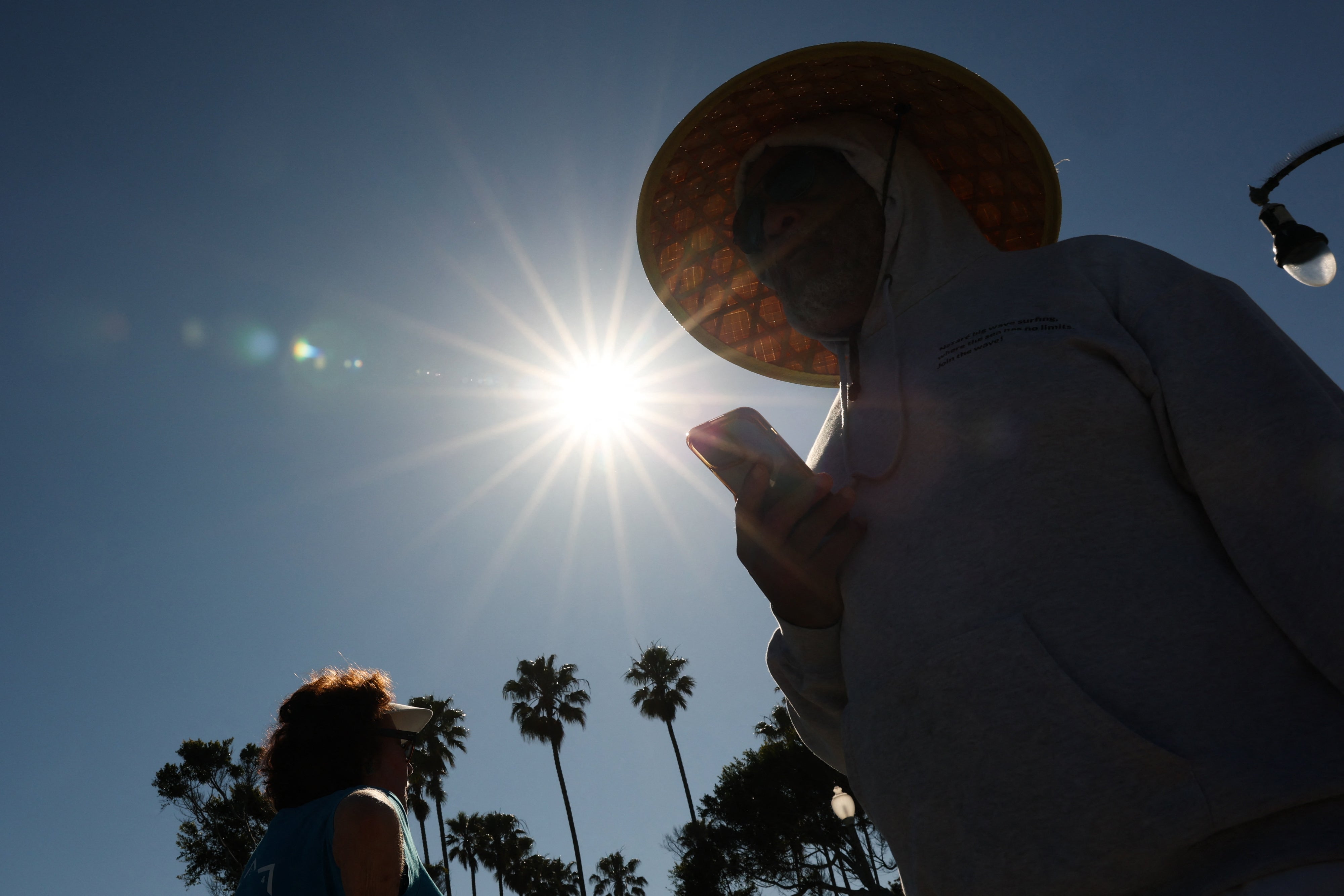
This year is already on track to become the planet’s second-warmest, according to climate expert Zeke Hausfather.
During an El Niño cycle, the Pacific jet stream shifts south, leaving areas of the Northern U.S. drier and warmer than usual, while the Gulf Coast and Southeast typically experience wetter-than-usual conditions.
This year’s El Niño looks no different, with above-average heat expected through the summer and fall in the Western U.S., while the Southwest and Intermountain West are expected to get hit with downpours and tropical storm remnants. Meanwhile, the Northwest could experience above-average dryness and even drought, while high temperatures are predicted for the Southeast and Mid-Atlantic regions.
 open image in gallery
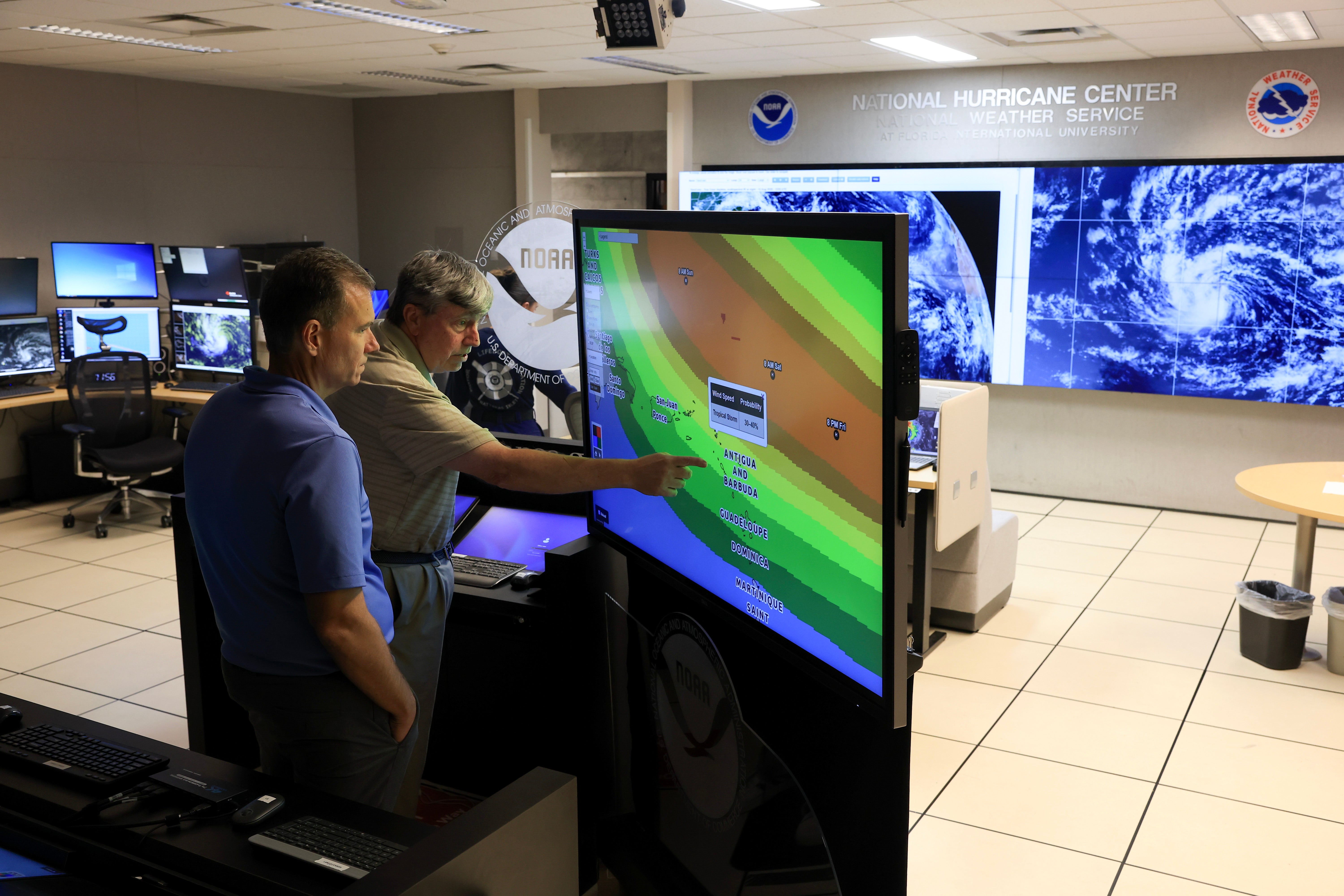
Previous El Niño years proved destructive, driving water supply shortages in Puerto Rico in 2015 and record-breaking heat in 2024.
Beyond the immediate weather impacts, the heat from this season’s El Niño could permanently push the global average temperature past 1.5 degrees Celsius above pre-industrial levels, according to climate experts.
That level forms the key benchmark in the Paris climate agreement, and further warming beyond this threshold makes it all the more difficult to avoid the most dangerous and, in some cases, irreversible impacts of the climate crisis.
Join our commenting forum
Join thought-provoking conversations, follow other Independent readers and see their replies
Comments