Spring warmth set to return with 26C forecast next week
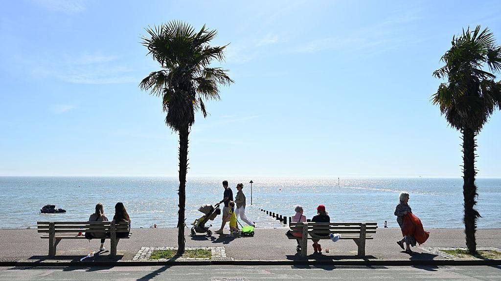 Image source, Getty
- Published16 May 2026, 01:17 BST
While recent days have felt like winter for some, things will gradually get warmer, especially later in the week ahead.
After returning to around average of the mid to high teens, temperatures will jump into the low twenties for much of the United Kingdom from mid-week.
For parts of south-east England, it could be as warm as 26C by the end of the week, though there is still some uncertainty this far away.
There will be sunshine at times but showers or longer spells of rain will feature in the week ahead.
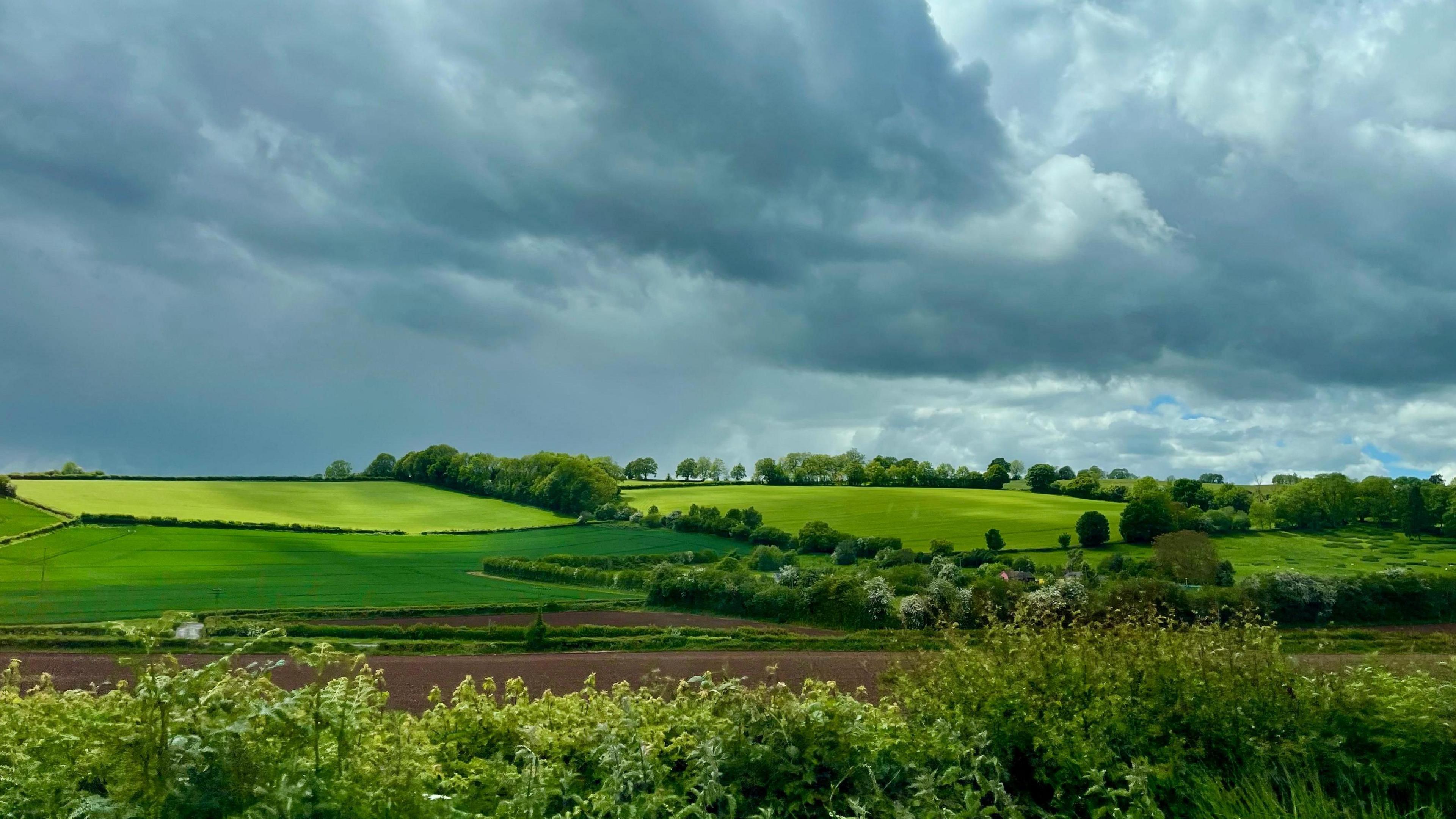 Image source, BBC Weather Watchers / Acer
The weekend will still be quite changeable with a mixture of sunshine and rain at times
Saturday and Sunday weather
With northerly winds across the UK, the temperature has been around 4-7C below average this week.
Showers, thunderstorms and hail have also featured widely with some questioning what has happened to spring.
Thunderstorms and hail are actually quite common features of the weather this time of year as the extra daylight and warmth helps grow bigger showers that bring hail.
With the wind switching to more of a westerly direction over the weekend, it will start to feel warmer although the weather will continue to be quite mixed.
After a bright start on Saturday, cloud increases from the west with some rain in Northern Ireland and western areas of England and Wales.
By Sunday, temperatures will have risen to around 12-16C. This will be close to the average for the time of year. With lighter winds it should actually start to feel warmer than it has done this week.
Showers will be mostly confined to northern and western areas of the UK with sunny spells elsewhere.
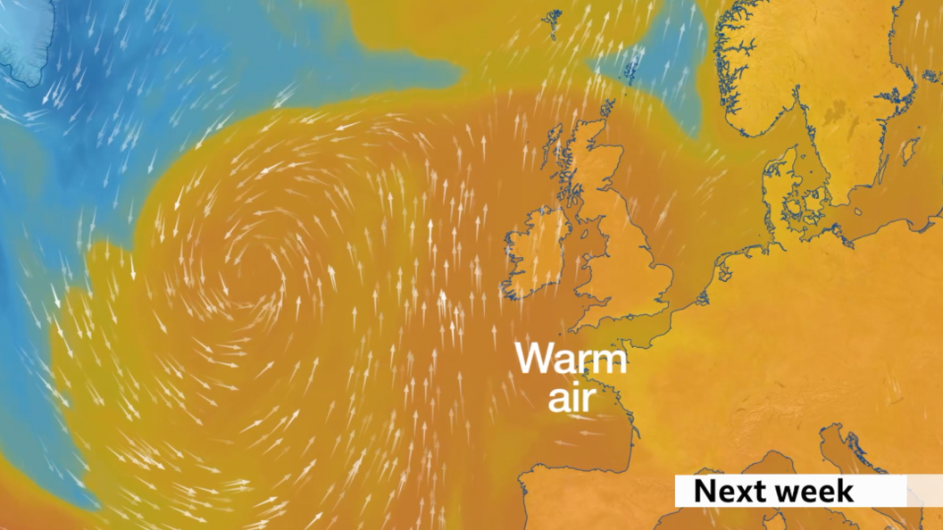
Warmer, southerly winds will develop as the week goes on, raising temperatures into the twenties for most of us.
Heat builds for later in week
Into next week the temperature will continue to rise very gradually as the wind moves round to a south-westerly.
By Tuesday and Wednesday it will have reached at or just above average with 16-20C for most parts of the UK.
While there'll be some sunny spells, the weather will remain quite mixed with showers or longer spells or rain, especially the further north and west you are.
Later in the week the temperature will start to rise even further with 20-26C looking likely across most areas.
The highest temperatures will be most likely around south-east England.
It's possible they may exceed the highest temperatures we've seen so far this year:
UK & England - 26.6C at Kew Gardens on 8 April
Wales - 24.8C at Mona Airfield on 7 April
Scotland - 23.9C at Achnagart 31 April
Northern Ireland - 21.5C at Altnahinch on 25 April
There should also be quite a bit of dry and mostly sunny weather for many parts as an area of high pressure builds in from the south.
There are signs the settled and warmer weather will persist into the bank holiday weekend.
You can stay right up to date with the latest on the BBC Weather app or website.
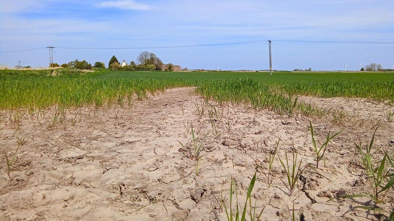
Is the UK heading for another drought this summer?
- Published1 May
Warning of record global temperatures as chance of very strong El Niño grows
- Published1 day ago
Схожі новини
Germany news: Nearly half the country wants governing conservative coalition out
Australia: Man dies after shark attack off holiday island
US: New York's Long Island railway workers go on strike