Mexico City is sinking so fast that the subsidence can be spotted from space
Mexico City is sinking by nearly 25 centimetres (10 inches) annually, new satellite imagery from NASA has revealed, positioning it among the world's most rapidly subsiding major cities.
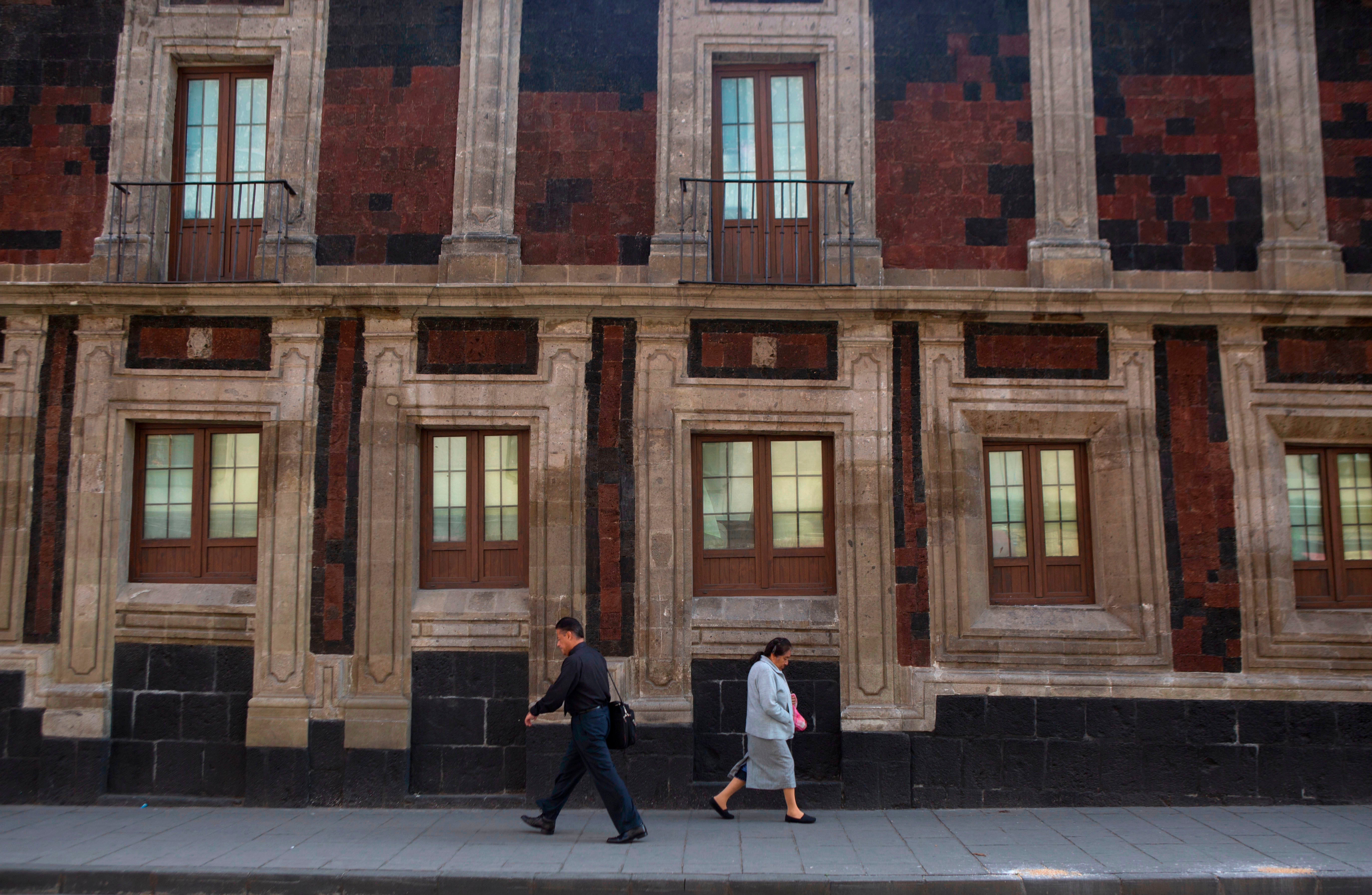
This sprawling urban centre, home to approximately 22 million people across 7,800 square kilometres (3,000 square miles), was originally constructed on an ancient lake bed. This historical foundation is evident in many downtown streets that once served as canals, a feature still present in its rural outskirts.
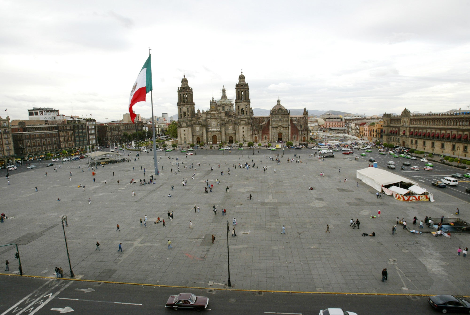
The relentless pumping of groundwater and extensive urban development have severely depleted the underlying aquifer. This has caused Mexico City to sink for over a century, resulting in a noticeable tilt in many historic monuments and older structures, such as the Metropolitan Cathedral, which began construction in 1573. The shrinking aquifer also exacerbates a persistent water crisis, which experts anticipate will only intensify.
“It damages part of the critical infrastructure of Mexico City, such as the subway, the drainage system, the water, the potable water system, housing and streets,” said Enrique Cabral, a researcher studying geophysics at the National Autonomous University of Mexico. “It’s a very big problem.”
Mexico City is sinking so fast that the subsidence can be spotted from space.
 open image in gallery
In some parts it is happening at an average rate of 0.78 inches (2 centimeters) a month, according to NASA’s newly released report, such as at the main airport and the iconic monument commonly known as the Angel of Independence.
Overall that means a yearly subsidence rate of about 9.5 inches (24 centimeters). Over the course of less than a century, the drop has been more than 39 feet (12 meters), according to Cabral.
“We have one of the fastest velocities of land subsidence in the whole world,” he said.
The NASA estimates are based on measurements taken between October 2025 and January 2026 by a powerful satellite known as NISAR, which can track real-time changes on the Earth’s surface and is a joint initiative between NASA and the Indian Space Research Organization.
NISAR scientist Paul Rosen said that by capturing details of the Earth from space, the project is also “telling us something about what’s actually happening below the surface.”
“It’s basically documentation of all of these changes within a city,” Rosen said. He added: “You can see the full magnitude of the problem.”
 open image in gallery
With time the team hopes to be able to zoom in even more on specific areas and someday get measurements on a building-by-building basis.
More broadly, researchers hope to apply the technology around the world to track things like natural disasters, changes in fault lines, the effects of climate change in regions like Antarctica and more.
Rosen said it could be used to bolster alert systems, letting scientists alert governments to the need for evacuations in cases of volcano eruptions, for example.
For Mexico City the technology amounts to a big advance in studying the subsidence issue and mitigating its worst effects, according to Cabral.
For decades the government has largely ignored the problem other than stabilizing foundations under monuments like the cathedral. But following recent flare-ups of the water crisis, Cabral said, officials have begun to fund more research.
Imagery from the NISAR satellite and the data that comes with it will be key for scientists and officials as they plan on how to address the problem.
“To do long-term mitigation of the situation,” Cabral said, “the first step is to just understand.”
Схожі новини
New head chef at Maz explores Peruvian food through a Japanese lens
Bryson DeChambeau denies having talks with PGA Tour
Lakers deliver knockout blow to Rockets in Game 6 to set up clash with Thunder